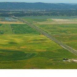
This project is a collaborative effort between the counties of Marin, Sonoma, Napa and Solano to improve the State Route (SR) 37 corridor to address sea level rise, traffic congestion, transit options and recreational activities.
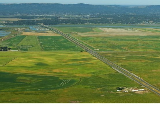
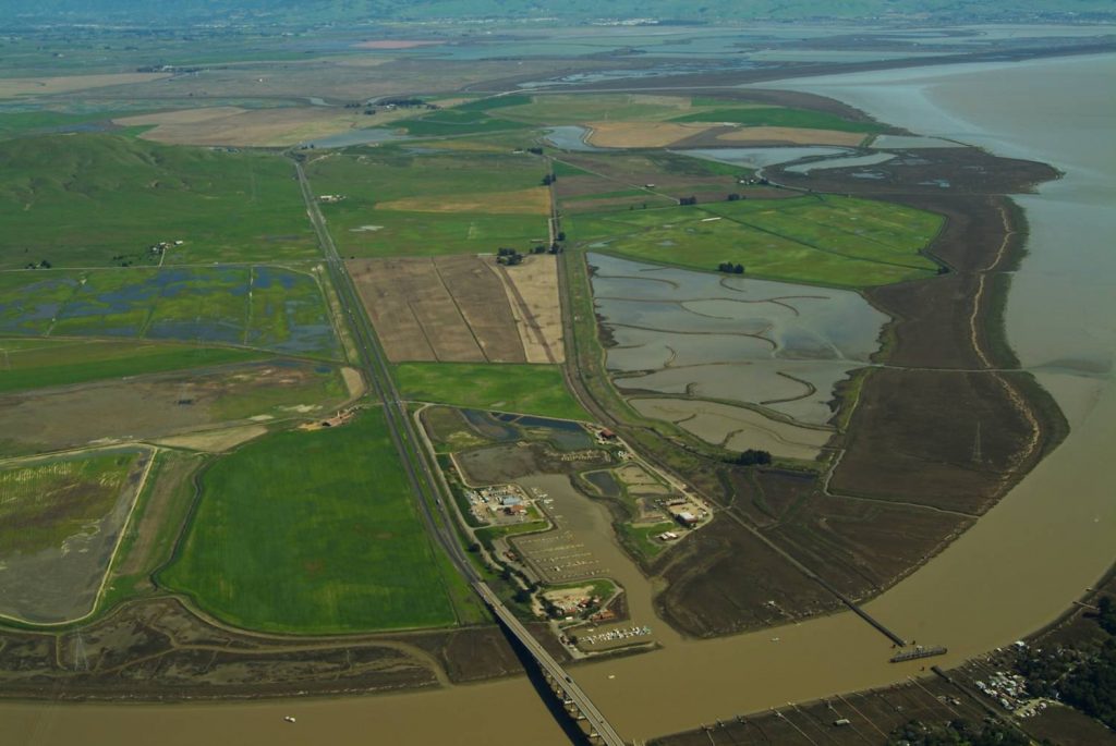
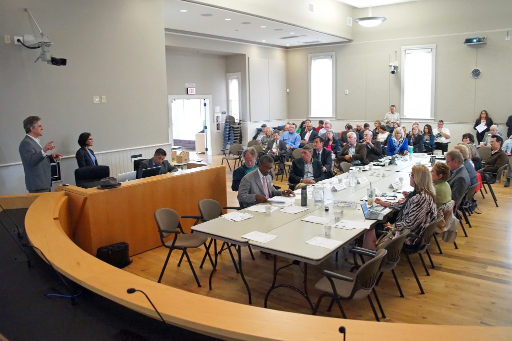
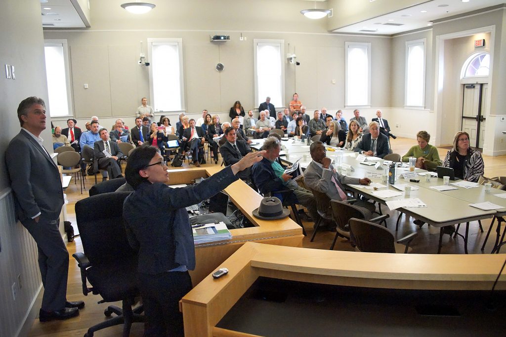
State Route 37 is a key transportation corridor and, due to its strategic transportation role and environmentally sensitive natural footprint, it has been the subject of a long-range planning study by UC Davis and Caltrans, and is being evaluated by an advisory committee comprised of transportation authorities from the counties of Marin, Sonoma, Solano and Napa.
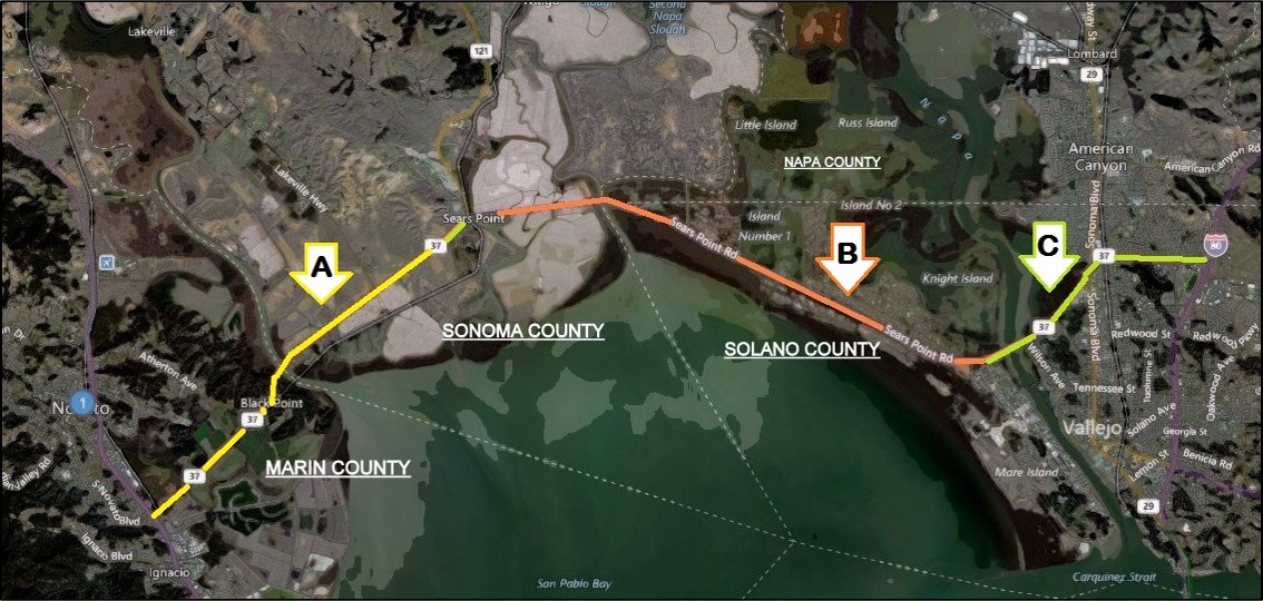
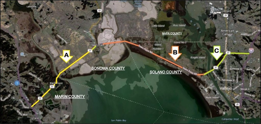
The overall study area is the segment of highway between Vallejo and the Sonoma Raceway (Highway 121). The sub-segments of highway that pass through Marin County include the segment from Highway 121 to Highway 101, where sea level rise is a concern, as well as the interchange with Highway 101.
In addition to resources and materials in the “Documents and Reports” tab, additional study information can be found on the Marin Watershed Program resources webpage.
The adaptive solutions provided options in each of the three reaches with costs for each option. The options were for a berm or levee system for the highway, a box-girder bridge structure or a slab-bridge system. The cost estimates are preliminary, include contingency and support costs that range between $1,260 to $3,840 Million. Details of the Analysis and all reports can be found at hwy37.ucdavis.edu.
